The Hills Drawn Twice
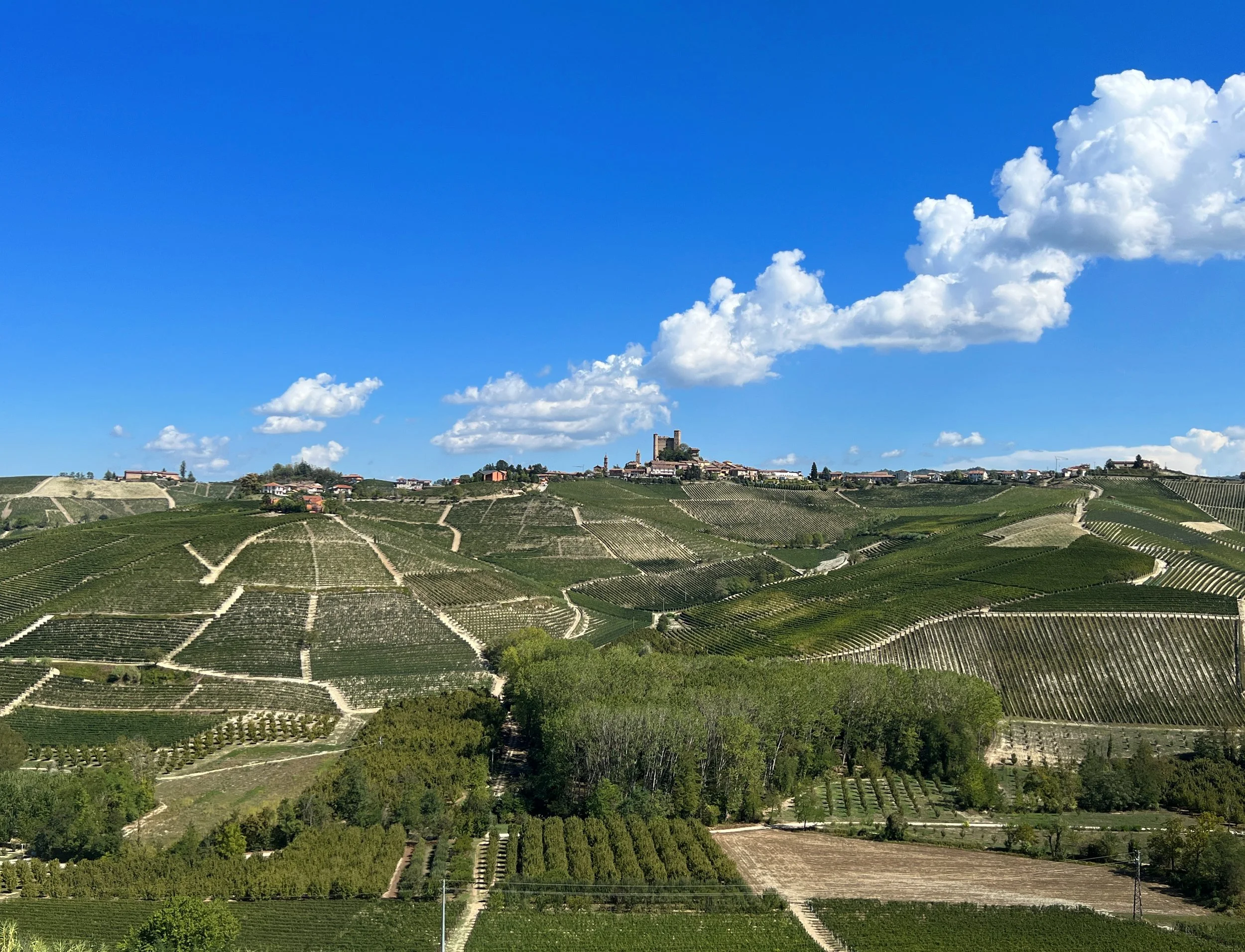
Every map of Barolo records what someone believed the land was for. In the 1880s Lorenzo Fantini listed the best vineyards of the Langhe as a practical guide for a province learning to value its Nebbiolo. For most of the following century, the great producers blended across villages, so the hillsides mattered mainly as sources for a house style. When Renato Ratti drew his map of the Barolo crus in the 1970s, dividing sites into categories of quality, he was making a claim as much as a survey: that these slopes deserved to be read the way Burgundy reads its Côte, parcel by parcel, with some ground ranked above the rest.
That claim reshaped the zone. From the 1960s, single-vineyard bottlings such as Bussia and Rocche began to change how growers, merchants and drinkers understood the place, and the map gave that new understanding a visible order. Yet the official Menzioni Geografiche Aggiuntive, adopted in 2010, refused to rank anything. More than 170 named sites were placed side by side, a settlement between neighbours as much as a description of soil and exposure. The long dispute over how far the name Cannubi could stretch across adjoining slopes showed the same truth plainly: a boundary line on paper carries history, family pride and commercial value, and people will argue over it for years.
None of these maps is simply more accurate than the one before. Each answers a different question asked by a different generation: where the good grapes are, which sites deserve fame, how a community shares a name without tearing itself apart. Barolo's cartography is still being written, now with climate pushing growers higher and toward cooler aspects, which may redraw the hierarchy once more. To read these maps well is to see the hills through the eyes of those who drew them, and to understand that the wine in the glass carries their worldview along with its fruit.